 Before any construction project breaks ground, understanding what lies beneath the surface is critical. Ground penetrating radar has become an indispensable tool for contractors, engineers, and project managers across the industry. This technology allows professionals to visualize underground utilities, soil composition, and potential hazards before excavation begins. Pre-construction site assessments using ground penetrating radar can prevent costly delays, accidents, and damage to existing infrastructure. Investing in thorough subsurface investigation at the planning stage saves time and money throughout the entire project lifecycle.
Understanding Ground Penetrating Radar Technology
Ground penetrating radar operates by sending electromagnetic waves into the earth and analyzing the signals that bounce back to the surface. This non-invasive method creates detailed images of what exists below ground without requiring any digging or site disturbance. The technology can detect utilities like electrical lines, water pipes, gas lines, and telecommunications cables with impressive accuracy. Different soil conditions and materials reflect these waves differently, allowing operators to distinguish between various subsurface features. Modern ground penetrating radar equipment provides real-time data that professionals can analyze on-site, enabling quick decision making.
Locating Buried Utilities and Infrastructure
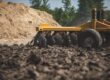
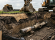
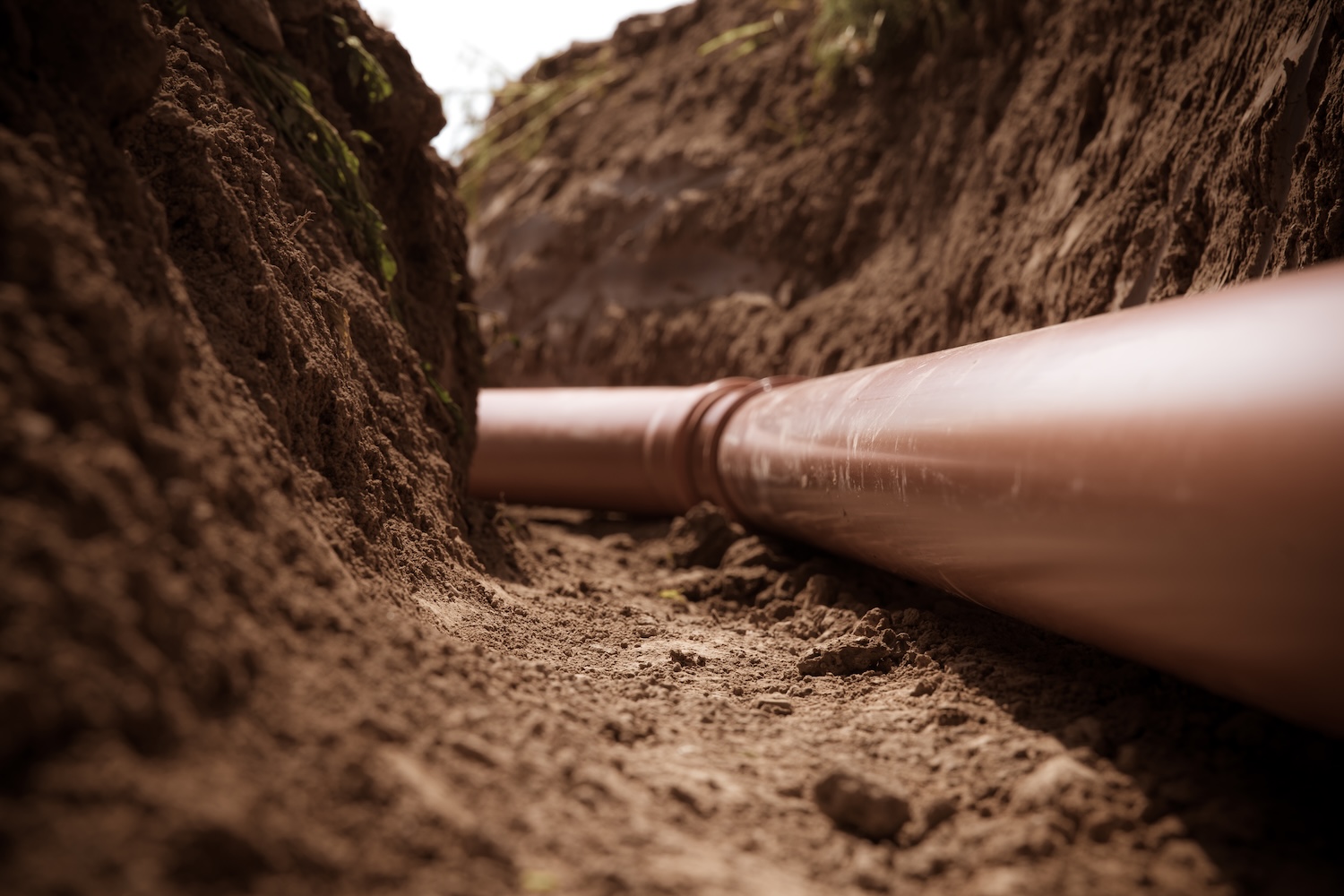
One of the primary applications of pre-construction site assessments is identifying buried utilities that could interfere with your project. Striking an electrical line, gas pipe, or water main during excavation can result in serious injuries, fatalities, and substantial financial penalties. Ground penetrating radar mapping identifies these critical assets before any equipment touches the ground. This information allows your team to plan excavation routes that avoid these hazards entirely. Many jurisdictions now require utility location reports before issuing excavation permits, making this assessment a legal necessity in addition to a safety requirement.
Detecting Soil Composition and Stability Issues
Beyond utilities, ground penetrating radar reveals crucial information about soil composition and structural integrity beneath your project site. Different soil layers respond uniquely to the electromagnetic waves, creating distinct patterns that engineers can interpret for load-bearing capacity. This data helps determine appropriate foundation depths and design specifications for your construction project. Detecting areas of poor soil compaction, contamination, or voids allows engineers to address these issues before construction begins. Understanding soil conditions also helps predict drainage patterns and potential groundwater challenges that could affect your project timeline.
Preventing Costly Project Delays and Damage
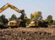
Discovering underground obstacles during active construction typically results in expensive project delays and change orders. A ground penetrating radar assessment conducted before breaking ground costs a fraction of what remediation expenses would be after striking a utility. Construction teams equipped with accurate subsurface data can schedule equipment and personnel more efficiently, keeping projects on budget and on schedule. Avoiding utility strikes also eliminates the need for emergency repairs to critical infrastructure that serves surrounding properties and businesses. The investment in comprehensive pre-construction site assessments using ground penetrating radar consistently demonstrates strong returns through reduced complications and faster project completion.
Regulatory Requirements and Compliance Benefits
Most jurisdictions mandate pre-construction site assessments and utility location reports as part of the permit approval process. Ground penetrating radar documentation demonstrates to regulatory agencies that your project team has taken appropriate precautions before excavation. This compliance protects your company from liability should any accidents occur during construction. Insurance companies often offer better coverage rates for projects that include professional subsurface investigation reports. Working with certified ground penetrating radar operators ensures your assessments meet industry standards and regulatory requirements specific to your location.
Why Professional Assessment Matters Most
While the technology behind ground penetrating radar is sophisticated, the expertise of trained operators is equally important for accurate results. Professional subsurface investigators understand how different utilities appear on radar images and can distinguish between relevant and irrelevant subsurface features. They know which frequencies and equipment settings work best for your specific soil conditions and project requirements. Certified operators maintain current knowledge of evolving technology and changing utility mapping standards across different regions. Partnering with experienced professionals for your pre-construction site assessments ensures reliable data that your entire project team can trust.
Moving Forward With Confidence and Safety
Comprehensive pre-construction site assessments using ground penetrating radar transform your project planning from reactive to proactive. With detailed knowledge of what exists below the surface, your team can design safer, more efficient construction plans that account for all subsurface obstacles. This preparation minimizes surprises during excavation and allows your crew to work with confidence knowing the subsurface hazards have been professionally mapped. Investing in ground penetrating radar assessments before your project begins demonstrates a commitment to safety, regulatory compliance, and budget management. Starting your construction project with accurate subsurface information puts your team on the path toward a successful, incident-free completion.